|
|
Review of the Tour de Julian
|
Please e-mail comments, corrections and additions to the webmaster at pje@efgh.com.
This year the Tour de Julian moved from Jess Martin Park to its new location at the Menghini Winery. It's become a two-day event, with road rides on Saturday and off road rides on Sunday. I participated in the Sunday ride this year, partly to get a good look at the newly opened trails in the Santa Ysabel Open Space Preserve.
The driving time from San Diego (downtown area) to Menghini Winery is about one hour and fifteen minutes under favorable conditions. Conditions are usually favorable on Sunday mornings, so I left shortly before 7:00 AM and arrived in plenty of time for the 9:00 AM start. The Preserve publishes a pretty good trail map; each rider got a copy.
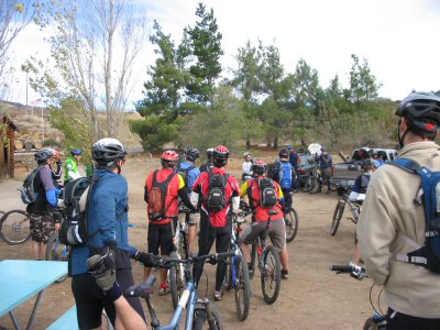
Starting the 2006 Tour de Julian Off-Road Ride at Menghini Winery
The weather was a bit chilly at the start, but it warmed up fairly fast. I had prudently dressed in layers and shed them as the ride progressed.
We started out on the road, going north on Farmers Road to the trailhead, crossing over two cattle guards on the way. There is a small parking area there, but not enough for the Tour de Julian. This is a good starting point for individual and small group rides.
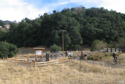
Farmer Road Trailhead at Santa Ysabel Open Space Preserve
The off-road ride began with a gentle descent through open range. We didn't bother the cattle, and they didn't bother us.
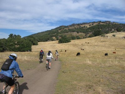
Gentle Descent Through Open Range
We then crossed a small creek. Of course, I walked my bike through, but stronger riders rode through.
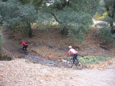
Crossing a Small Creek
We then climbed a fairly steep hill, where most riders walked at least partway. At the top of the hill was the first trail junction, and the first of two aid stations.
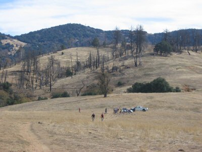
First of Two Aid Stations
About 0.3 miles farther, we came to the decision point. The short ride went around the Kanaka Loop; the long ride followed the Coast to Crest Trail to the West Vista Loop.
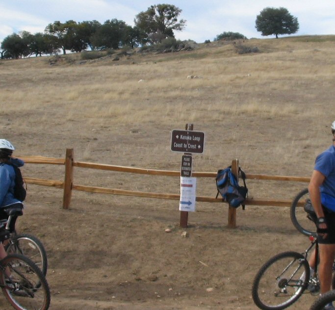
Junction of Kanaka Loop Trail and Coast to Crest Trail
I decided to do at least some of the long ride, so I turned right. The trail goes up to a high point from which the Palomar Observatories can be seen. I stopped at the second aid station and then went on. However, when the trail started to descend steeply into the Santa Ysabel Valley, I turned around.
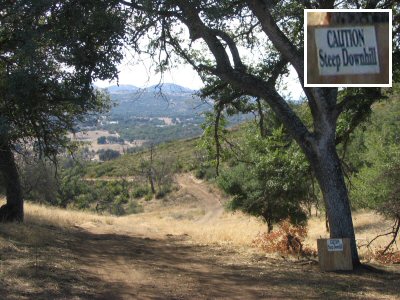
Beginning of Steep Descent into Santa Ysabel Valley
On the way back, I went around the Kanaka Loop Trail, passing through some areas heavily burned in the 2003 Cedar Fire.
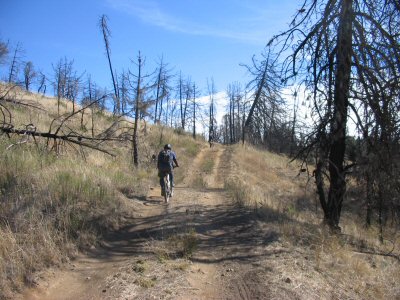
Kanaka Loop in Burned Area
I got back to the Menghini Winery about 11:30 AM, where my post-ride reward was waiting.

Julian Apple Pie A La Mode After Ride
Philip J. Erdelsky